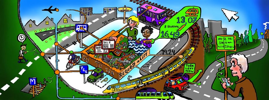
A data platform for multi-modal real-time travel planning aimed at collective goals, that is the original goal of the PETRA project. The premise is that governmental agencies can gather a lot of data, internally and from external data providers, that can be modelled upon to provide travellers with travel plans that align better with collective goals, as opposed to individual travel time optimization.
Current commercial travel planners take modal network data (a map with topological data and operational speed data of a single mode, mostly car), sometimes real-time network loading (current speed data from either the apps running the travel planner or external data on that mode) and a model of the expected operational speeds in the near future. Based on this they plan a route, optimized on minimized travel time for the single mode for the single user.
However, in the current urban environment several challenges arise that make this approach not optimal. Accordingly, three characteristics of advanced mobility data platforms may cope with these challenges.
First, congestion is high, making the single mode, mostly the car, not necessarily the best way forward. Several other modes are available, having their own trip planning, often times further fragmented between different public transport modes and operators. So, a multi-modal planning tool could help. The multi-modal characteristic of a mobility data platform means that network flows, modelling approach, and planner options include a variety of modes.
Second, conditions in the urban environment change constantly, and various factors can drive the performance of these various modes. Having a real-time perspective on the current state of not just road congestion, but also performance of other modes could help the traveler in two ways: providing a better plan to start off with and providing better guidance during the trip. To achieve that, a historic and current view on all kinds of mobility related data could help more advanced modelling of future and ongoing trips. That data should include both contextual data like weather and events, and performance data like road congestion and public transport occupancy and punctuality. The real-time characteristic will allow for the trip and travel planning to be closer aligned tot the current state of the network.
Third, optimizing the travel plans for individual travel speed misses two key issues. The problem of the city, and thus of its inhabitants, is not necessarily arriving two minutes quicker individually. More collective reasoning could lead to optimizing travel times over the whole population and even optimizing not for travel times but for reduced emissions, greater health, lower energy use, etc. The promise of such a system is very high, both in individual as well as in collective performance improvement. The nudging characteristic allows for the metropolitan governments that have implemented the platform to better align the behavior of the traveler with the conditions and goals of the urban space.
Other questions
